Atlas of the Pacific Northwest
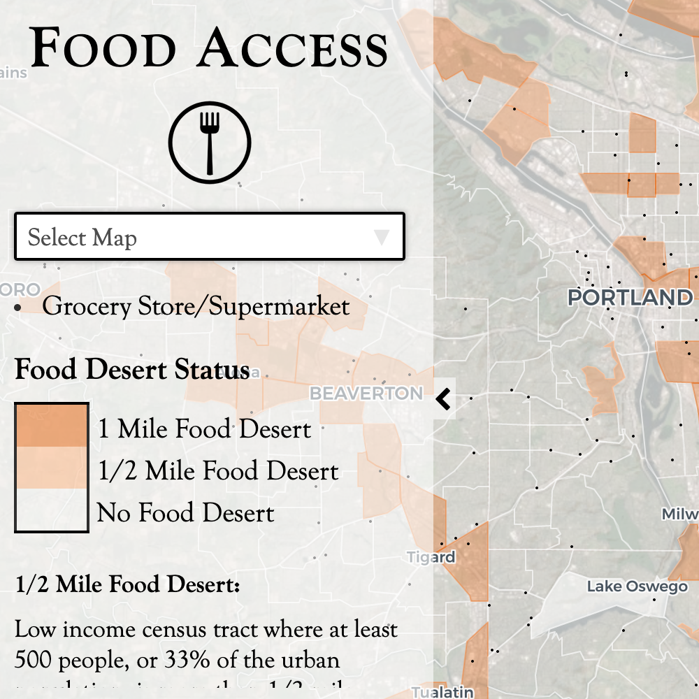
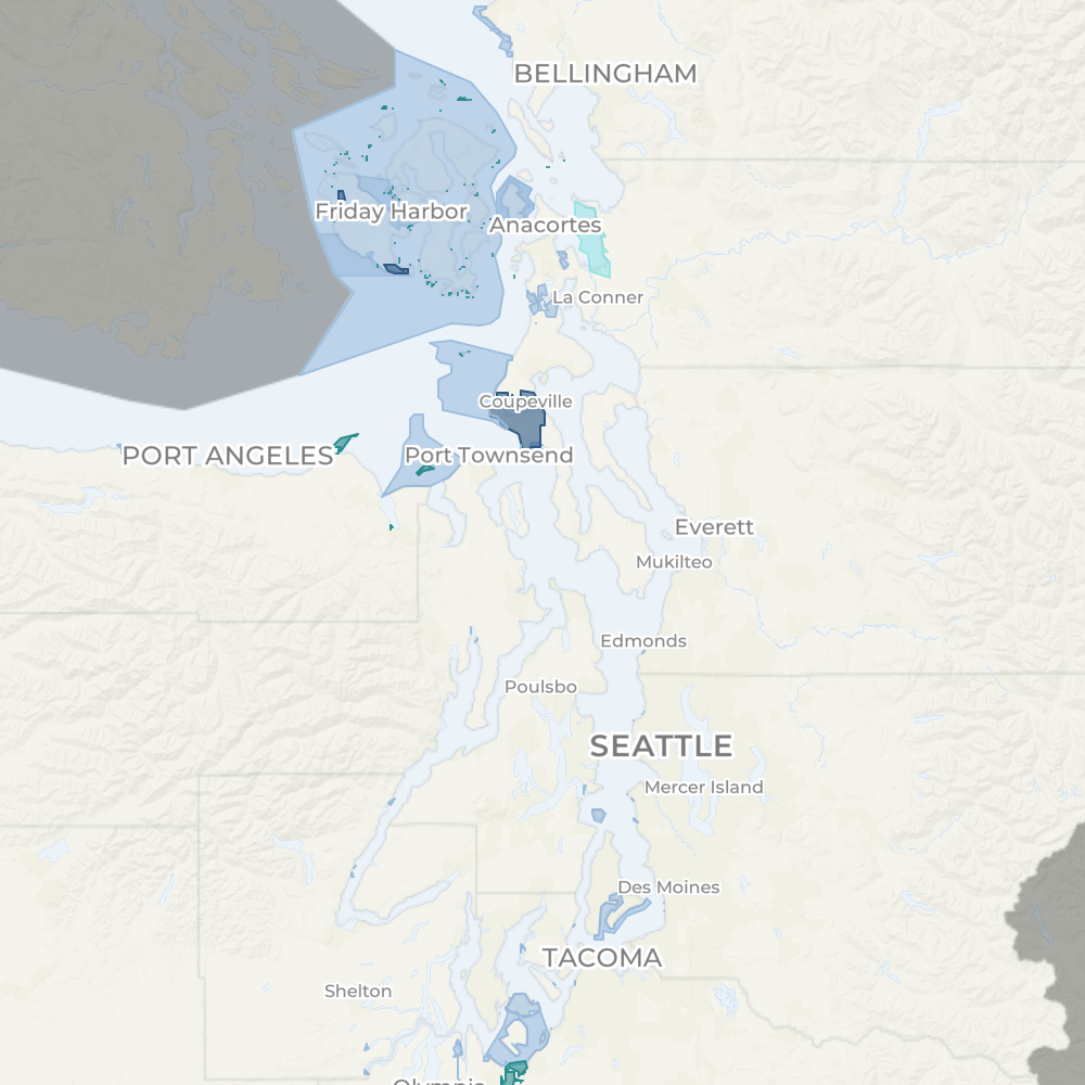
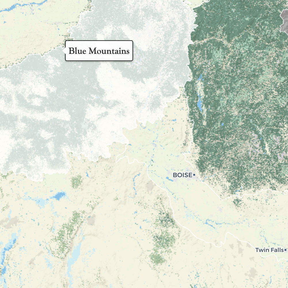
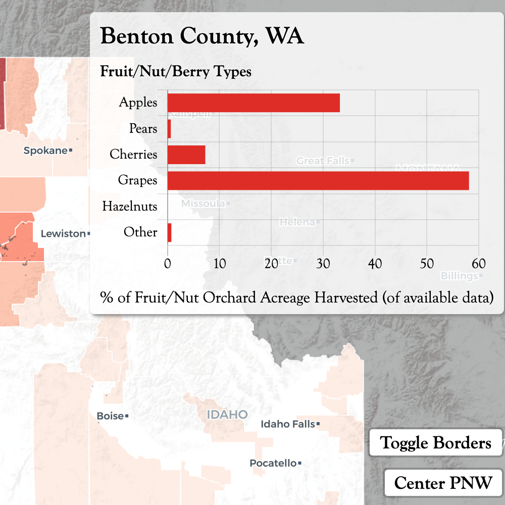
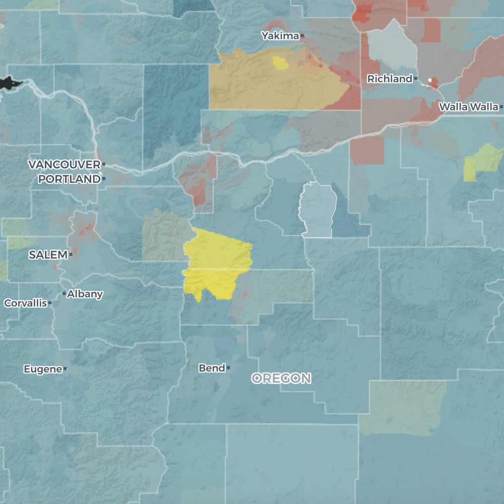
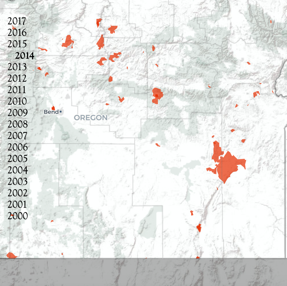
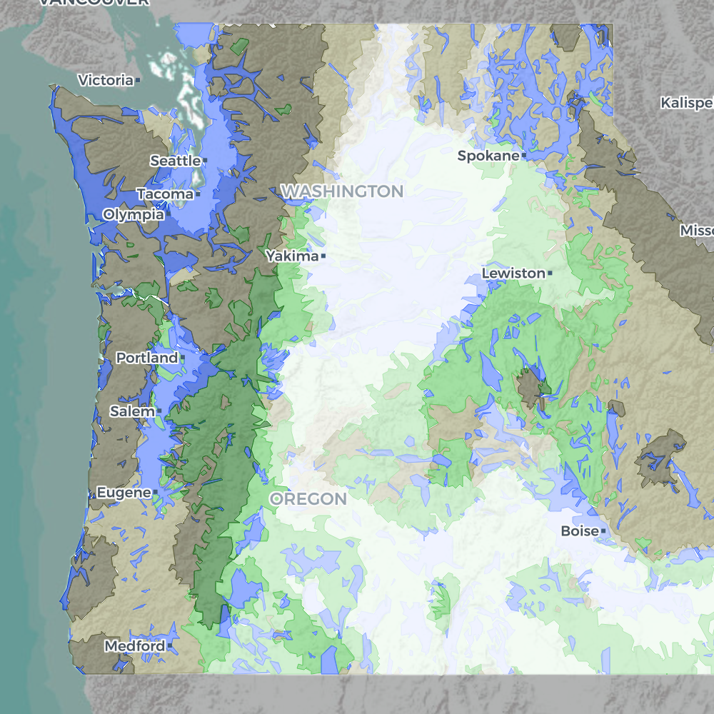
The Atlas of the Pacific Northwest has been printed by Oregon State University (OSU) Press since the 1950s, with the 9th and final print edition published in 2003. In 2017, I was tasked to create a fully online version of the atlas. This was, and remains, the largest project I’ve ever undertaken. I had a lot of freedom in choosing topics and designs, and plenty of room for experimentation—as such, the diversity of data and techniques is wide-ranging. Instead of opting for a GIS-heavy atlas, we settled on a series of curated interactive maps, each with a limited and consistent set of options. The goal was to allow users to explore without getting overwhelmed. So please do that—explore and enjoy! https://pnwatlas.oregonstate.edu/#/
